The Bengeo Trails visit local nature reserves, wildlife sites, ancient woodlands, rural areas, Folly Island, and parts of Hertford town centre. They highlight the important views, green spaces, historic buildings, and community facilities given additional protection through the Bengeo Neighbourhood Area Plan.
The trails incorporate the Bengeo Community Garden and the Bengeo Mosaic (both Love Bengeo Community Group projects) and explore Hartham Common, local landmarks, public footpaths, and Bengeo’s twitchels. The trails are all within the Bengeo Neighbourhood Plan Area.
The Bengeo Trails Compilation collates all the routes published in the first half of 2026 and includes comprehensive local information. The trails were written by the Love Bengeo Community Group, who helped produce the Bengeo Neighbourhood Area Plan.
The trails are shared to the Bengeo Trails Facebook Group.
Available now
Bengeo Trails 1 – View across Beane Marshes
Bengeo Trails 2 – St Leonard’s Garden Hartham and Ware Park Manor Views
Bengeo Trails 3 – Bengeo Field Views
Bengeo Trails 4 – Around Hartham Common^J Cowbridge and Port Hill with the Neighbourhood Plan
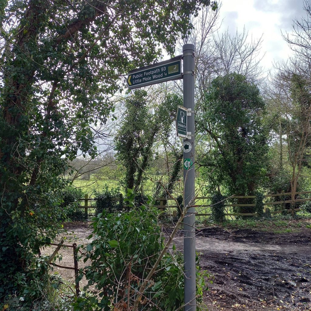
Bengeo Trails 5 – Public Footpath 93 to North Road Meadow
Bengeo Trails 6 – Neighbourhood Plan Important Views and Green Spaces
Bengeo Trails 7 – Ware Park Manor and the River Lee Navigation
Bengeo Trails 8 – Bengeo Field to St. John’s Wood
Bengeo Trails 9 – Around St. Andrew Street, Hertford Castle Gardens, and Folly Island with the Bengeo Neighbourhood Area Plan
Bengeo Trails 10 – Bengeo’s front gardens and wildlife corridors
Bengeo Trails 11 – Five footpath circular from The Avenue
Bengeo Trails 12 – Footpath 96 towards Westmill Road
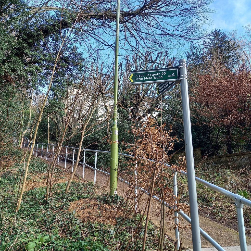
Bengeo Trails 13 – Great Mole Wood and Waterford Marsh
Bengeo Trails 14 – Bengeo’s Twitchels
Bengeo Trails 15 – Hartham Common and surrounds – the Alfred Russel Wallace connection
Bengeo Trails 16 – Waterford Heath Nature Reserve
Bengeo Trails Compilation June 2026